
Basic Statistics
Dates
Maximum wind speed Minimum pressure Deaths Damage Landfall
September 6-20, 2004
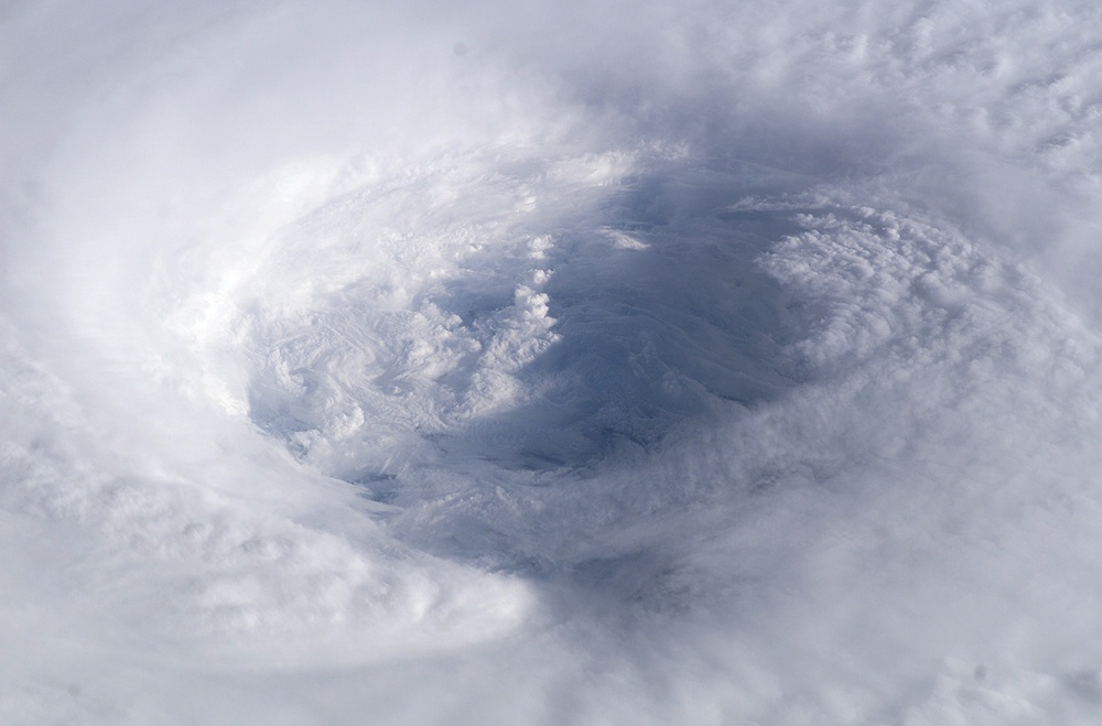
165 mph (270 km/h) 915 mb 16 3.6 Billion U.S. North Carolina Hurricane Isabel emerged from a tropical wave moving off the African coast on September 1, 2003 but did not gain hurricane status until 7 September. The hurricane then rapidly intensified, moving through Categories 2 and 3 of the Saffir-Simpson Hurricane Wind Scale, and reaching Category 4 status by late on 8 September. Isabel remained at Category 4 strength until reaching Category 5 intensity (the highest category of hurricane strength) on 11 September. After a northwest turn, on 16 September, the system weakened to below major hurricane strength for the first time in 8 days. Although weakening, Isabel’s wind field continued to expand and the storm made landfall as a Category 2 hurricane mid-day on 18 September near Drum Inlet, NC (along the Outer Banks).
Hurricane Isabel was the worst hurricane to affect the Chesapeake Bay region since 1933. It became the costliest (~$3 billion in 2003 USD) and deadliest (17 fatalities) hurricane of 2003. Isabel’s largest effect was due to flood damage, the greatest of which occurred along North Carolina’s Outer Banks. A 1.8-2.4 m (6-8 ft) storm surge caused extensive erosion and overwash near Cape Hatteras, NC, including the destruction of thousands of homes, erosion of protective dunes, and creation of island breaches. The most extensive changes were associated with the opening of a new breach in an island southwest of Cape Hatteras- the breach created a 600 m (2,000 ft) wide inlet, unofficially known as Isabel Inlet. Fast Facts:
|
 |
Please address comments and questions to hurricane@etal.uri.edu