
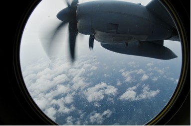
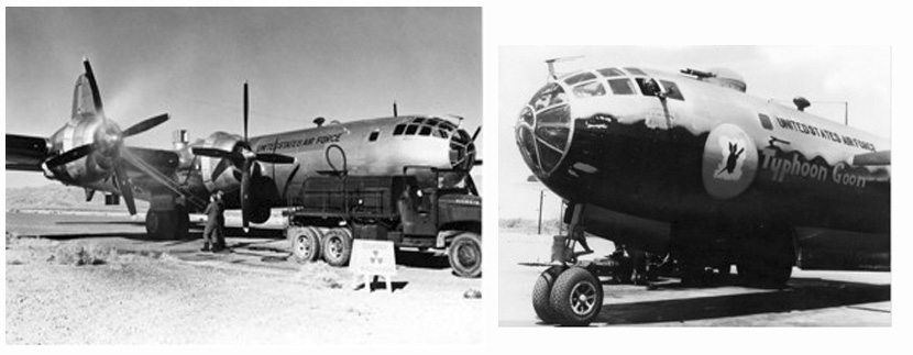
Before forecasters can predict a hurricane’s track or intensity, they need to gather as much data as possible on that storm and the current state of the atmosphere and the ocean. Satellites are considered to be the primary platform for hurricane observation, but critical measurements are also taken at sea, over land, and perhaps most importantly, from the air. Prior to the development of satellites during the 1960’s, forecasters relied on reconnaissance aircraft to pinpoint storms at sea. Since the first intentional flight into a hurricane by Joseph B. Duckworth and Lt. Ralph O’Hair in late July 1943, aircraft have been flying into hurricanes and collecting valuable data. After this demonstration, aircraft reconnaissance into hurricanes in the Atlantic Basin and typhoons in the Northwest Pacific Basin was begun on an annual basis. While aircraft reconnaissance continues in the Atlantic area, these routine measurements were discontinued in the Northwest Pacific in 1987. In the early years, forecasters would request flights based on limited data from islands and ships. Crews would set out with only an approximation of the storm’s position and had to rely on their own visual observations to guide them. Estimates for wind speed and direction were made by looking at the sea surface. The Beaufort scale is a way to measure wind speed based mainly on observed sea condition. An adaptation of the Beaufort scale, which employs a scale from 0 to 12, is used by the U.S. National Weather Service (NWS) to describe hurricane force winds. One of the hazards of the early, low-level flights was the absence of reliable techniques to assess altitude, and hence, several aircraft were lost during their missions. Routine aircraft were sent east from the Caribbean Islands (Lesser Antilles) specifically looking for tropical storms or hurricanes before there were any reports of them available. The program was discontinued in the 1960’s with the advent of polar orbiting satellite imagery. Since pressure measurements could be reliably obtained via aircraft reconnaissance as far back as the 1940’s, these were utilized to obtain fairly accurate surface wind measurements in hurricanes. It was not until the 1990’s that aircraft reconnaissance could measure the winds in hurricane directly with more accuracy. Today, sophisticated arrays of airborne instruments collect large quantities of high-quality data, which are taken back (or sent via satellite) to the National Hurricane Center (NHC) and incorporated into hurricane prediction models. Hurricane reconnaissance reports come primarily from the U.S. Air Force’s Hurricane Hunters operation as well as the flights conducted by the Aircraft Operations Center (AOC) of the National Oceanic and Atmospheric Administration’s (NOAA’s) annual field program of research flights.
Aircraft Reconnaissance |
 |
Please address comments and questions to hurricane@etal.uri.edu