
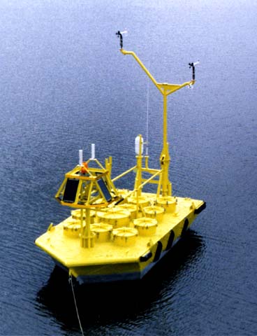
Ships and buoys are other types of observational platforms that provide critical information about the conditions within a tropical cyclone. Ships and buoys are the only routine source of measured waves in areas unobstructed by land and are often the only way to take direct measurements when a tropical system is at sea. Therefore, like aircraft reconnaissance, ships and buoys provide verification for indirect measurements (such as those taken by satellite and radar). |
 |
Copyright © 2020, University of Rhode Island. Disclaimer
Please address comments and questions to hurricane@etal.uri.edu
Please address comments and questions to hurricane@etal.uri.edu