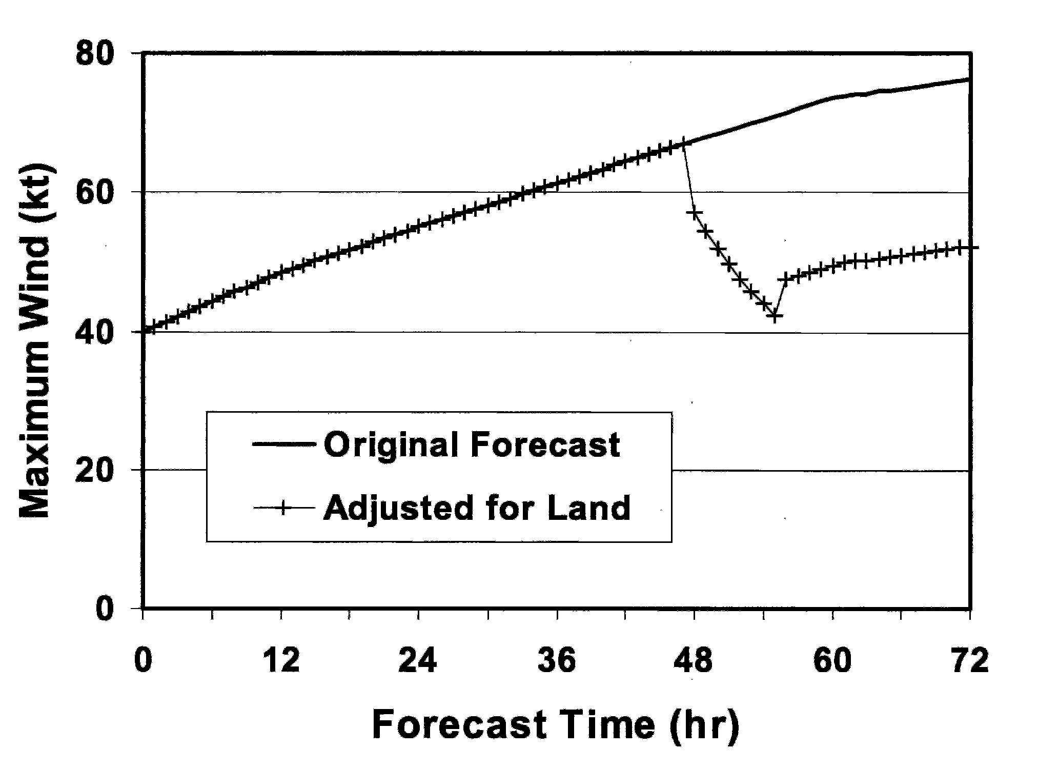
Instead of explicitly considering the physics of the atmosphere, statistical models are based on historical relationships between hurricane-specific information, such as the location and time of year, and the behavior of historical hurricanes. These models are much simpler than dynamical models of the atmosphere, and they can produce a computer-generated forecast much more quickly, often within seconds. Due to their simplicity, statistical models are generally less skillful than dynamical models, so they are typically used as a benchmark to establish how well the more complex models are performing. In other words, a more complex model is only considered to be “skillful” if it performs better than a statistical model. For hurricane track forecasting, the statistical model typically used as a benchmark is the Climatology and Persistence Model (CLIPER5). For hurricane intensity forecasting, the statistical model typically used as a benchmark is either the Statistical Hurricane Intensity Forecast (SHIFOR5) or the Decay-SHIFOR5, which is the same as SHIFOR5 except it includes a weakening component for a hurricane that makes landfall. Statistical-dynamical models blend both dynamical and statistical techniques by making a forecast based on established historical relationships between storm behavior and atmospheric variables provided by dynamical models. Two statistical-dynamical models that were used in the past by the National Hurricane Center (NHC) for track forecasting, NHC91 and NHC98, no longer produce competitive track forecasts. For intensity forecasting, however, three statistical-dynamical models have proven to be skillful, sometimes outperforming all of the dynamical models. These three models are the Statistical Hurricane Intensity Prediction Scheme (SHIPS), the version of SHIPS that accounts for weakening during landfall (Decay-SHIPS), and the Logistic Growth Equation Model (LGEM). Trajectory models are similar to but much simpler than dynamical models. These models move a hurricane along a forecasted track based on the large-scale environmental wind field obtained from a separate dynamical model. Unlike a dynamical model, the hurricane does not interact with the surrounding atmosphere (think of a pinball machine where the ball represents a hurricane and the bumpers and flippers represent the environmental wind field). One trajectory model used by NHC forecasters is the Beta and Advection Model (BAM). There are three versions of BAM that account for different thicknesses of the environmental wind field. These three versions are called BAM shallow (BAMS), BAM medium (BAMM), and BAM deep (BAMD). BAMS covers the 850-700 millibar layer (lower troposphere only), BAMM covers the 850-400 millibar layer (lower and middle troposphere only), and BAMD covers the 850-200 millibar layer (lower, middle, and upper troposphere). Hurricane track forecast differences among these three versions of BAM give forecasters a sense of the strength of the vertical wind shear and the uncertainty of the hurricane’s future track. |


